
Embarking on a journey through the ancient landscapes of the Bible is like stepping back in time, immersing oneself in the rich tapestry of history, faith, and culture. While physically traversing these lands may not always be feasible, we are fortunate to have an incredible resource at our disposal: historical maps. These intricate cartographic representations not only provide us with geographical insights but also serve as windows into the world of the Bible. Join us on a captivating expedition as we explore the ancient biblical landscapes through the lens of these remarkable historical maps.
- Discovering the Geographical Context: The Bible is intricately tied to specific geographical locations, and understanding the context of these places enhances our comprehension of the biblical narrative. Historical maps enable us to visualize the lands where the stories of the Bible unfolded. From the majestic Nile River to the deserts of Sinai, these maps unveil the topography and landmarks that played crucial roles in biblical events.
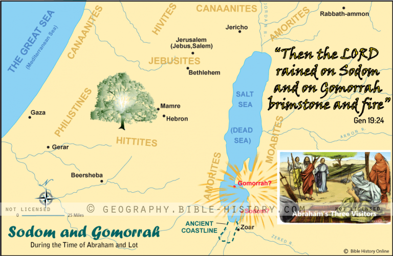
- Tracing the Journeys of the Patriarchs: Follow in the footsteps of Abraham, Isaac, and Jacob as we trace their journeys across the ancient Near East. Historical maps provide valuable insights into their nomadic lifestyles, the routes they took, and the cities they encountered along the way. Witness how their wanderings shaped their destinies and influenced the future of their descendants.
- Reliving the Exodus: The story of the Exodus is one of the most significant events in biblical history. By examining historical maps, we can visualize the arduous journey of the Israelites from Egypt to the Promised Land. Explore the route of the Exodus, identify possible locations for the crossing of the Red Sea, and gain a deeper appreciation for the challenges faced by Moses and the Israelites.
- Exploring the Promised Land: Experience the grandeur of the Promised Land through historical maps. Marvel at the richness of Canaan as it was divided among the tribes of Israel. Delve into the geographical features, cities, and boundaries described in the Bible, and understand the significance of each region in the narrative of Israel’s conquest and settlement.
- Traversing the Life of Jesus: Step into the footsteps of Jesus as we navigate the historical maps of the Holy Land during His time. From His birthplace in Bethlehem to the shores of the Sea of Galilee and the streets of Jerusalem, retrace the path of Jesus’ ministry. Gain a deeper understanding of the geographical context of His teachings, miracles, and ultimate sacrifice.
- Visualizing Biblical Battles: Through historical maps, we can visualize the epic battles fought in the biblical era. Witness the strategic maneuvers of Joshua during the conquest of Jericho, or the clash between David and Goliath in the Valley of Elah. By overlaying the biblical accounts onto these maps, we gain a greater appreciation for the military strategies employed and the significance of these conflicts.
- Uncovering Lost Cities: Archaeology has unearthed numerous ancient cities mentioned in the Bible. Historical maps can help us locate and explore these lost cities, including Jericho, Nineveh, and Babylon. Immerse yourself in the splendor of these ancient civilizations, walk their streets, and learn about the historical and cultural context in which biblical events unfolded.
Embarking on a journey through the ancient biblical landscapes using historical maps allows us to bridge the gap between the past and the present. It enables us to visualize the places, events, and people that shaped the course of history and laid the foundation for our faith. Join us as we delve into the world of the Bible, guided by the invaluable insights provided by these captivating historical maps.
