Full Catalog
Jerusalem’s Topography – Color Photo (72 DPI) 1-Year License
$20.00
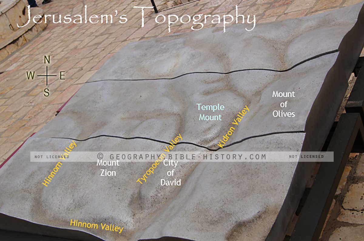
Color photo of the topography, hills and valleys in Jerusalem.
This display at the David Citadel reveals the topography of Jerusalem. The text was added to show the names and locations. Notice the valleys that surround Mount Moriah, Mount Zion, and the City of David. Any rainwater falling into the 3 valleys all flow down to the Dead Sea from Jerusalem.
This photo can be used for projection, lamination or color print from postcard to poster size. [One Year License]
This photo is available as a high resolution digital download with detailed instructions. You must bring the file to an Office Depot or similar store for easy color print and lamination. For personal, church or classroom use only.